Tamboon Inlet
About the Waterway
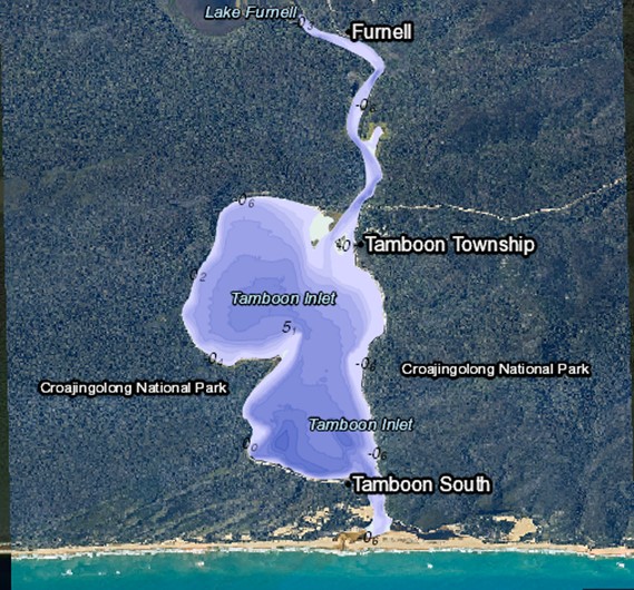
Tamboon Inlet is on the south-east coast of Victoria, located south of the township of Cann River, and is approximately 467kms (6 hours travel time) via the Princess Highway from the Melbourne CBD.
Tamboon Inlet is a small waterway which is generally closed to Bass Strait, although on occasions is opened by prevailing weather and water levels or artificial opening by the Catchment Management Authority to prevent flooding of built assets. The Inlet is a popular tourist destination for holiday makers and anglers alike. Most of the Inlet and extending arms are navigable by small recreational vessels only.

Navigational Information
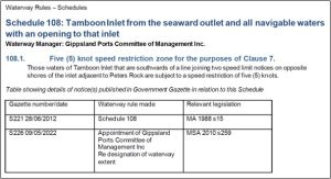
VOZR (Vessel Operating and Zoning Rules) Schedule 108 Tamboon Inlet
Go to NTM’s (for this waterway)
Navigational aids within the Gippsland Regional Ports conform to the International Association of Lighthouse Authorities (IALA) Buoyage System “A”. Starboard-hand (or right side) marks are green, whilst Port-Hand (or left side) marks are red. Cardinal marks are yellow and black; Special marks are yellow and Isolated Danger marks black and red.
In using the system it is essential to remember that the direction of buoyage is taken from the seaward entrance of these ports. When returning towards the entrance the situation would be reversed.
Go to Waterways Online
Go to bathymetric surveys
Boating Facilities
FACILITIES MANAGED BY GIPPSLAND PORTS:
All navigation aids and zoning signs/buoys
FACILITIES MANAGED BY OTHER AUTHORITIES:
DELWP
- Furnell Landing Boat ramp and carpark
- Peach Tree boat ramp
Parks Victoria
- Peach Tree camping area
- Tamboon Inlet Remote campsites (North, East and South)


