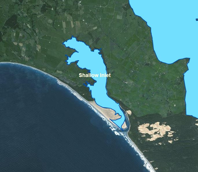
Shallow Inlet
About the Waterway
Shallow Inlet is located on the south coast of Victoria, just west of Wilsons Promontory, approximately 180kms (165 minutes travel time) by road from the Melbourne CBD, accessed via the small South Gippsland town of Sandy Point.
Shallow Inlet is a small tidal waterway located on the eastern side of Waratah Bay. Although much of the inlet dries at low water, and the depth in the entrance varies, it is suitable for small recreational and fishing vessels.

Navigational Information
VOZR (Vessel Operating and Zoning Rules) Schedule 103 Shallow Inlet
Go to NTM’s (for this waterway)
Shallow Inlet Channel and Entrance
The channel is well defined and marked, however the entrance may not be “navigable” in severe weather or during adverse sea conditions. Vessel operators are advised that there may be significant changes to the channel configuration in the vicinity of and including the entrance to Shallow Inlet. Vessel operators are advised to operate with extreme caution when navigating this area.
Click Here For more information on Crossing Bars.
Boating Facilities
GIPPSLAND PORTS MANAGES THE FOLLOWING FACILITIES:
All in water Navigation Aids
All on land Navigation Aids
FACILITIES MANAGED BY OTHER AUTHORITIES:
Sandy Point Boat Launching Area
Lesters Road Boat Launching Area

