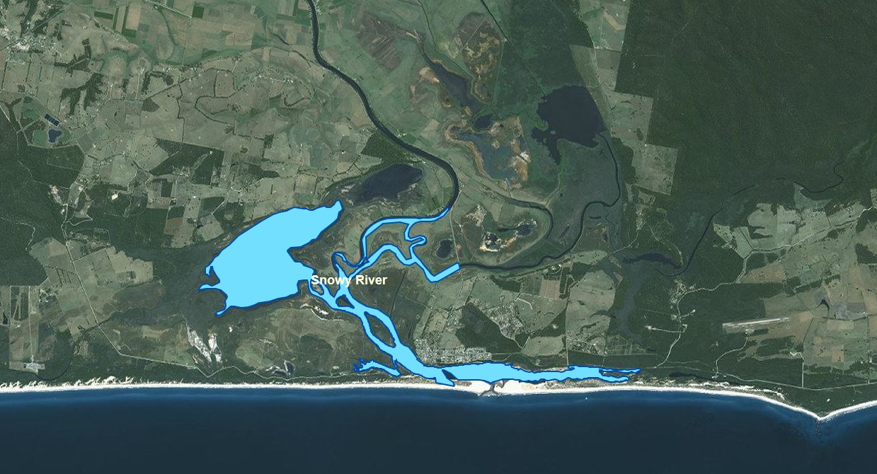
Snowy River
About the Port
The Port of Snowy River is located on the south eastern coast of Victoria, in far East Gippsland, approximately 400 kms (5 hours travel time) by road from the Melbourne CBD. It is accessed by the Princes Highway to Orbost, and then along the tourist road to Marlo.
The Port of Snowy River is a small estuarine waterway adjacent to the small township of Marlo, with an entrance to Bass Strait. The entrance remains open for most of the year, although on occasions is closed by the prevailing weather and river water levels. Marlo is a popular tourist destination for holiday makers and anglers alike. The Port of Snowy River includes the waters of the Snowy River up to the point where the Orbost-Marlo road leaves the river and the Brodribb River up to Orbost-Marlo Road bridge, and also extends out into Bass Strait for a radius of 3 nautical miles from the entrance.
The waterway is navigable by recreational vessels to just beyond Lochend on the Snowy River, and to the entrance of Lake Curlip on the Brodribb River.

Navigational Information
VOZR (Vessel Operating and Zoning Rules) Schedule 107 Local Port of Snowy River
Navigational aids within the Gippsland Regional Ports conform to the International Association of Lighthouse Authorities (IALA) Buoyage System “A”. Starboard-hand (or right side) marks are green, whilst Port-Hand (or left side) marks are red. Cardinal marks are yellow and black; Special marks are yellow and Isolated Danger marks black and red.
In using the system it is essential to remember that the direction of buoyage is taken from the seaward entrance of these ports. When returning towards the entrance the situation would be reversed.
CAUTIONS
The Snowy River is obstructed at its entrance by a sand bar over which depths vary. At times the entrance may be closed, due to the shifting nature of the sand and weather conditions. Extreme caution should be taken on the seaward side of the boat ramp due to weather, shoaling, varying water levels and strong tidal influences.
Click Here For more information on Crossing Bars.
Bridge Clearance
The bridge clearance over the Brodribb River near Marlo is 3.5 metres, measured at mean tidal level. Clearance may vary in certain conditions (e.g. loss of clearance during times of flooding)
CHANNELS IN THE PORT OF SNOWY RIVER
There are no marked channels in the Port. Vessel operators should take care on the seaward side of the boat ramp due to shoaling and variable water levels.
Boating Facilities
FACILITIES MANAGED BY GIPPSLAND PORTS:
All in water Navigation Aids
Marlo Jetty
All on land Navigation Aids (excluding light on Marine Parade)
FACILITIES MANAGED BY OTHER AUTHORITIES:
East Gippsland Shire
Marlo Boat Ramp
Brodribb River Boat Ramp and Jetty
Loch End Boat Ramp
Parks Victoria
Corringle Slips Boat Ramp and Jetty

